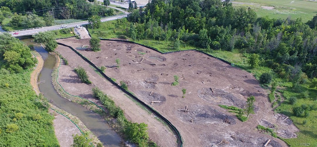
In collaboration with Enbridge and the Town of Milton, Conservation Halton undertook a priority environmental project to decommission the existing Drumquin Park weir on East Sixteen Mile Creek and restore the natural channel function and habitat. Sixteen Mile Creek provides aquatic habitat to many species including the Silver Shiner, a species classified as at risk in Canada and threatened provincially. Removal of the Drumquin weir provides the opportunity to restore connectivity to downstream occupied Silver Shiner habitat and rehabilitate degraded Silver Shiner habitat – actions that address the various recovery objectives for this threatened species.
River Engineering and Technical Services GIS Support
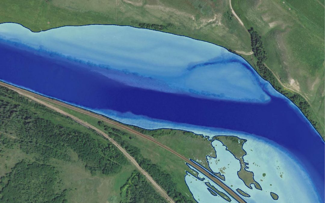
AEP’s River Engineering and Technical Services Section identified various areas within their organization where they needed support to migrate both spatial and non-spatial data into consistent data models, as well as evaluate incoming spatial data deliverables provided by their consultants. The purpose of such work is to facilitate greater use of enterprise database systems and web mapping applications internal to AEP.
Spill Response and Remediation Program Management
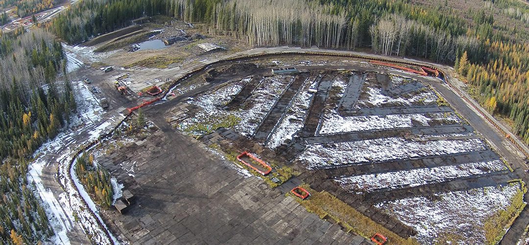
Murphy Oil Corporation discovered a condensate release from one of its pipelines at three separate surface locations in April 2015. Our client needed to delineate and contain the spill. Monitoring of wildlife, surface water, groundwater, and atmosphere quality was required to assess for impacts from the release. Once containment was put in place, Murphy needed to remediate and manage risks associated with the spill.
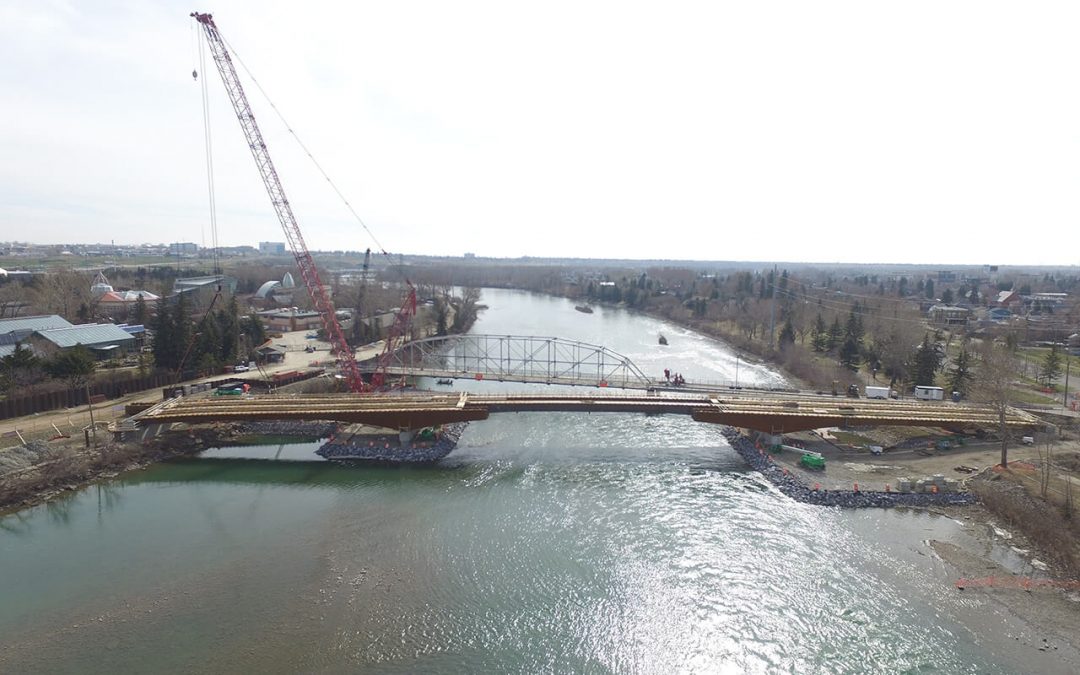
City of Calgary 12 St. S.E. Bridge Replacement
The City of Calgary recently embarked on a project to replace the 109-year-old 12 Street S.E. Bridge over the Bow River, the main access point between the Calgary Zoo and locations to the south. The bridge was in poor condition and deteriorating beyond a safe, useable condition.
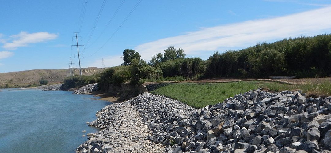
AltaLink Oldman River Bank Protection
The foundations of four AltaLink transmission structures were threatened due to significant bank erosion along a 900m reach of the Oldman River, Alberta. Further bank erosion could impact the reliability of the line or require the relocation of the structures to another location.
Recent Posts
Environmental Support for Finch West Light Rail Transit Construction Project
TORONTO, ONTARIOPROJECT SUMMARY The Finch West light rail transit (LRT) project will bring an additional 11 kilometers and 18 stops of public transit, while renewing aging infrastructure. The project aims to reduce travel and connection times and provide an economic...
Power Pole Preservative Fate and Transport Modelling and Risk Assessment
ALBERTAPROJECT SUMMARY As part of their management of environmental liability, a power transmission client wanted help evaluating the fate and transport of pentachlorophenol (PCP), creosote, and arsenate compounds from utility transmission line poles to the...
Air Quality Assessment: In Situ Thermal Oil Sands SAGD Facility
NORTHERN ALBERTAPROJECT SUMMARY An oilsands developer requested to scope a potential increase in their facility sulphur dioxide (SO2) emission limit to allow for operational flexibility. To support this regulatory amendment request, Matrix Solutions Inc. conducted...
Lithium Brine Deposit Resource and Reserve Estimate
SALAR LITHIUM BRINE PLAY – ARGENTINA, S. AMERICAPROJECT SUMMARY Our client was in the resource delineation and quantification stage of planning a lithium brine project in South America. As part of this exploration, it was recognized that hydrogeological aquifer...
Flood Mitigation Study for New Hamburg
NEW HAMBURG, ONTARIOPROJECT SUMMARY The Town of New Hamburg is located along the Nith River and is one of 27 municipal flood damage centres in the Grand River Conservation Authority’s (GRCA’s) jurisdiction. The Town was established and developed in the Nith River...
We routinely lead characterization of stream morphology to:
- Assess fluvial erosion hazards
- Develop alternatives for erosion control in environmental assessments
- Develop management strategies as part of land use planning (subwatershed, secondary, tertiary plans and site plans)
- Assist in culvert/bridge design
- Define erosion thresholds to inform stormwater management