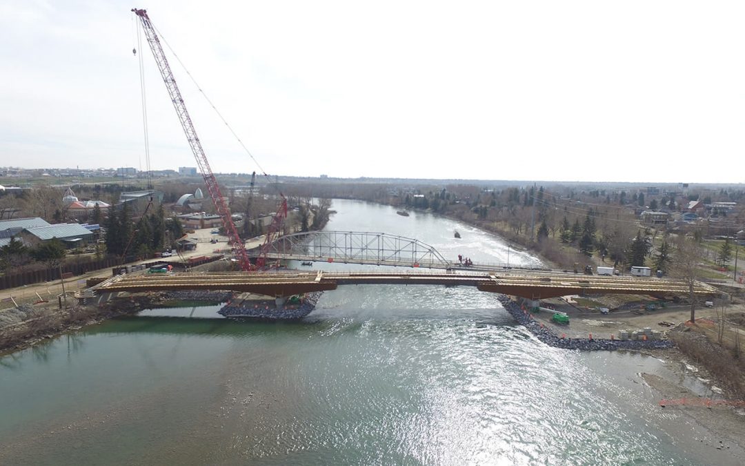
The City of Calgary recently embarked on a project to replace the 109-year-old 12 Street S.E. Bridge over the Bow River, the main access point between the Calgary Zoo and locations to the south. The bridge was in poor condition and deteriorating beyond a safe, useable condition.
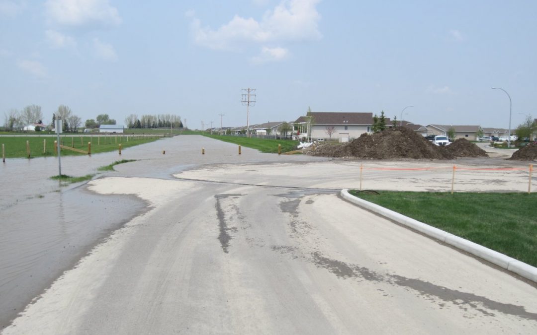
High Water Mark Database
High water mark (HWM) survey data is collected after flood events to understand and document the extent of flooding and to support the calibration and assessment of hydraulic models. HWM surveyors record the observed elevation of the flood peak, and provide the data needed to estimate the maximum flood-inundation surface. Alberta Environment and Parks (AEP) has been collecting HWM information following flood events since the 1970s
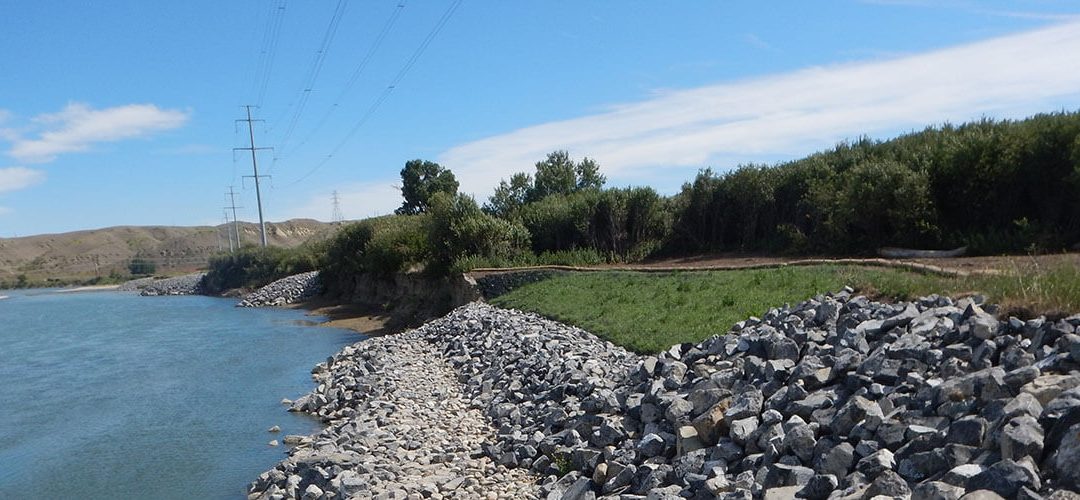
AltaLink Oldman River Bank Protection
The foundations of four AltaLink transmission structures were threatened due to significant bank erosion along a 900m reach of the Oldman River, Alberta. Further bank erosion could impact the reliability of the line or require the relocation of the structures to another location.
About Pipelines Map
Canadian Energy Pipeline Association (CEPA) wanted to create an interactive online map to help inform the Canadian public of the vast network of underground pipeline infrastructure in Canada. The About Pipelines Map, launched in 2015, allowed the Canadian public to easily view and understand pipeline infrastructure. The project focused on creating a site that was user-friendly and approachable to the general public. The site not only served to provide access to raw information, but also to educate about pipeline specific terminology a
Signalta Resources Power Plant Approval
Signalta Resources wanted to build a new natural gas-fired power generation facility east of Red Deer. A power generation facility of this type requires approvals from both Alberta Environment and Parks (AEP) and the Alberta Utilities Commission (AUC)
Recent Posts
City of Calgary 12 St. S.E. Bridge Replacement
CALGARY, ALBERTAPROJECT SUMMARY The City of Calgary recently embarked on a project to replace the 109-year-old 12 Street S.E. Bridge over the Bow River, the main access point between the Calgary Zoo and locations to the south. The bridge was in poor condition and...
High Water Mark Database
ALBERTAPROJECT SUMMARY High water mark (HWM) survey data is collected after flood events to understand and document the extent of flooding and to support the calibration and assessment of hydraulic models. HWM surveyors record the observed elevation of the flood...
AltaLink Oldman River Bank Protection
LETHBRIDGE, ALBERTA PROJECT SUMMARY The foundations of four AltaLink transmission structures were threatened due to significant bank erosion along a 900m reach of the Oldman River, Alberta. Further bank erosion could impact the reliability of the line or require the...
About Pipelines Map
NATION-WIDEPROJECT SUMMARY Canadian Energy Pipeline Association (CEPA) wanted to create an interactive online map to help inform the Canadian public of the vast network of underground pipeline infrastructure in Canada. The About Pipelines Map, launched in 2015,...
Signalta Resources Power Plant Approval
EAST OF RED DEER, ALBERTAPROJECT SUMMARY Signalta Resources wanted to build a new natural gas-fired power generation facility east of Red Deer. A power generation facility of this type requires approvals from both Alberta Environment and Parks (AEP) and the Alberta...
We routinely lead characterization of stream morphology to:
- Assess fluvial erosion hazards
- Develop alternatives for erosion control in environmental assessments
- Develop management strategies as part of land use planning (subwatershed, secondary, tertiary plans and site plans)
- Assist in culvert/bridge design
- Define erosion thresholds to inform stormwater management