Stream Channel Assessment,
Processes & Restoration
Our experienced geomorphologists and technical staff bring unparalleled expertise in the assessment, restoration, and management of rivers and streams. Collaborating across disciplines, Matrix provides integrated solutions from local site to watershed scale drainage networks situated in rural and urban land uses and in a range of surficial geology settings.

We routinely lead characterization of stream morphology to:
- Assess fluvial erosion hazards
- Develop alternatives for erosion control in environmental assessments
- Develop management strategies as part of land use planning (subwatershed, secondary, tertiary plans and site plans)
- Assist in culvert/bridge design
- Define erosion thresholds to inform stormwater management
Stream Channel Assessment, Processes & Restoration
Key service areas include:
- Watershed and subwatershed drainage network characterization
- Reach assessments, erosion and asset condition inventory mapping and GIS database development
- Geohazards and erosion hazard delineation
- Meander belt and stable top of slope assessments
- Headwater drainage feature assessments
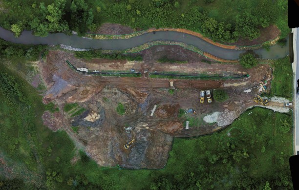
- Channel modifications and realignment, erosion mitigation, bank/slope stabilization and infrastructure protection
- Natural channel design, aquatic habitat enhancement, and floodplain restoration
- Erosion threshold and scour analyses for stormwater management and infrastructure crossings
- Crossing assessments for linear infrastructure
- Capital works planning
- Construction supervision, technical construction support, and contract administration
- Protocol Development
- Regulatory agency permitting
- Post-construction monitoring
Our team includes Certified Inspectors of Sediment and Erosion Control (CISEC) and play an important role in:
- Erosion and sediment control planning and design
- Construction inspection


Our team includes Certified Inspectors of Sediment and Erosion Control (CISEC) and play an important role in:
- Erosion and sediment control planning and design
- Construction inspection


